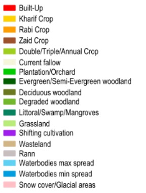
NRSC LULC 250K
lat
—
,
lon
—

NRSC LULC 250K
CropMapper is a mapping workspace for crop classification. Select a study area, add training samples, and run supervised or unsupervised classification on satellite imagery.
GeoJSON or KML polygon. The area will preview on the map.